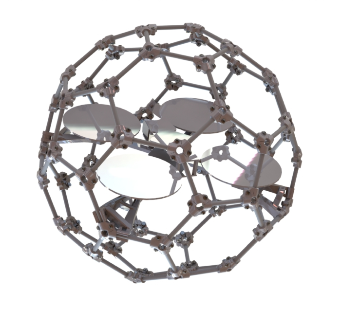
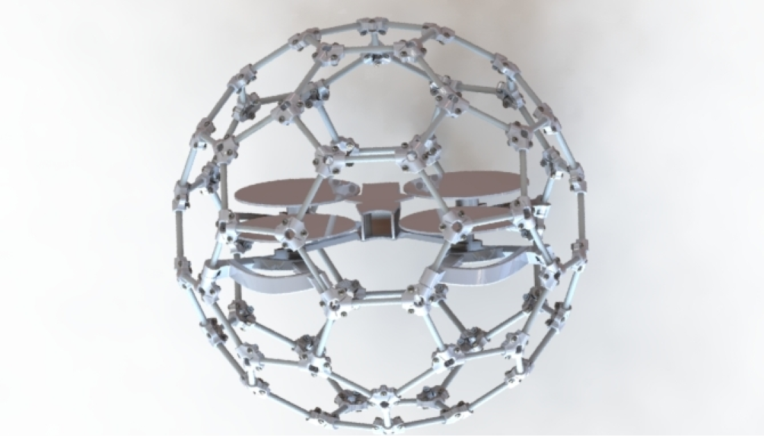
FLYABILITY DRONES

The drones are innovative inspection tools designed to improve safety and efficiency in various industries.

They are capable of navigating confined and complex spaces, capturing high-quality visual data, and withstanding collisions.

Contact Us
FLYABILITY DRONES

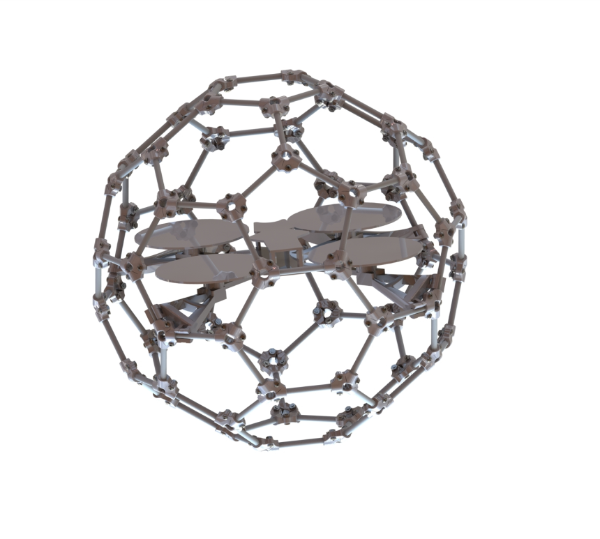
Using computerized vigin starts with building algorithms for detection objects
By customizing the parameters our developers make complex solutions for the task you need.

Problem that the drone solves:

Inspecting dangerous, confined, and hard-to-reach spaces
Reducing risks by eliminating human presence
Coverage of different industries


Solution provided by the drone:

Anti-collision technology that allows them to penetrate confined spaces,
Safe collision with obstacles without loss of stability,
High-quality visual datain challenging environments

High-resolution cameras
Capturing detailed images and videos.

Thermal camera
Detecting heat signatures

Radiation sensor
Detecting and measuring radiation levels

LED lighting
For illuminating dark spaces

New capabilities without long training for systematic inspections.
Intuitive reporting with 3D asset models.
Built-in situational awareness in the pilot application.
Ease and accessibility to explore the world with an unmanned solution.

  • High-resolution cameras
  • Thermal imaging
  • Radiation detection
  • Remote controller
  • High-quality visual data
  • Detect heat signatures
  • Measure radiation levels
  • Withstand collisions

  1. Activating and controlling the drone remotely.
  2. The drone moves in a confined space, capturing visual data around it.
  3. The visual data is transmitted to the operator in real time, allowing the operator to see the drone’s environment.
  4. The operator analyzes the data to verify and make decisions based on the visual information.
  5. If required, drone can detect heat signatures in the environment, providing additional information to the operator.
  6. If required, drone can measure radiation levels, allowing the operator to more fully assess the situation.

Step 1: Accurate environmental detection
The drone utilizes computer vision and NVidia’s graphics engine.
Creates 3D maps with high point density in real time.
Instantly detects the environment with centimeter accuracy.

Step 2: Provide information to the pilot
The point cloud map is displayed in the app.
Pilots see a real-time 3D image of the trajectory and surroundings.

Stage 3: Creating high quality 3D models
Data is integrated with the software.
Surveyors can map hard-to-reach sites and conduct comprehensive surveys in complete autonomy.